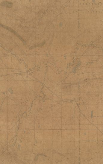
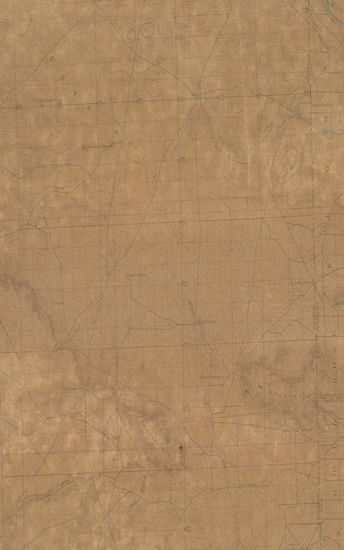
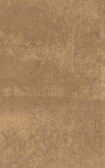
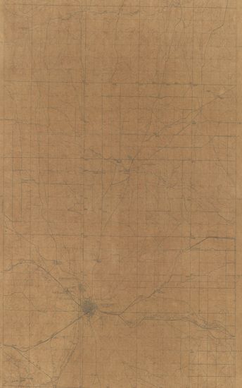
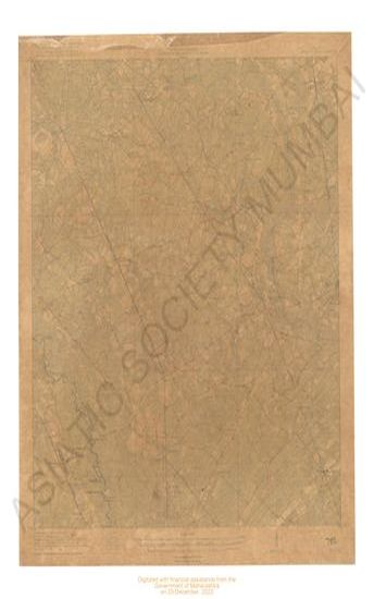
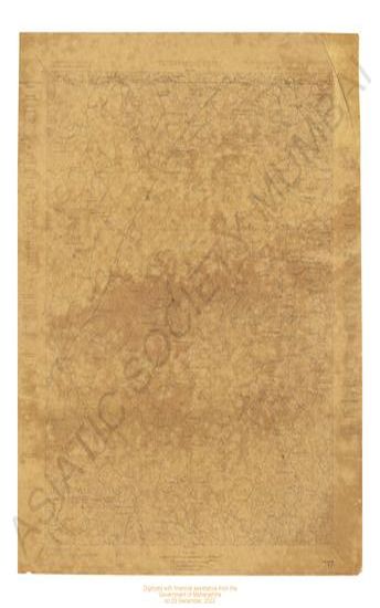
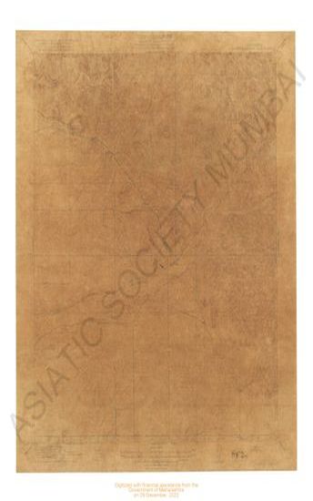
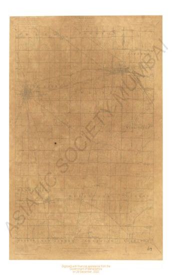
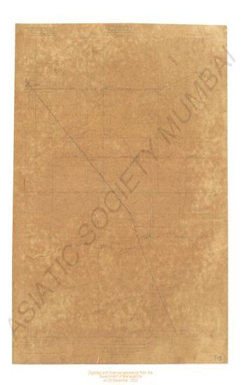
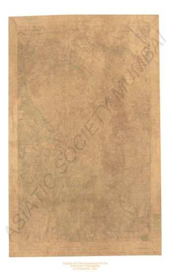
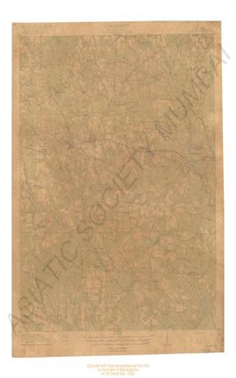
Wyoming Como Ridge Quadrangle Surveyed in 1915
| Resource Type | : | Map |
| Publisher | : | Scale [5:25] Contour Interval 25 Feet |
| Place of Publication | : | Scale |
| Language | : | English |
| Notes/Description | : | Datum is mean sea level Approximate mean declination 1915 |
| Pages/Folios | : | 1 |
| Identifier | : | MAP_0749 |
| Digitization Sponsor | : | Government of Maharashtra |