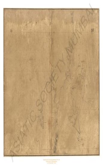
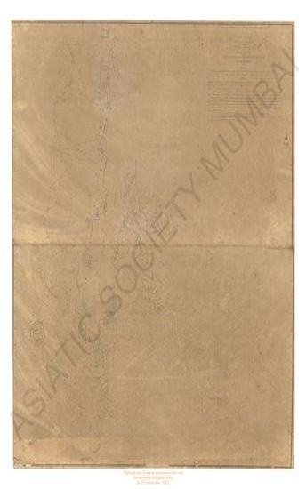
Maldiva island; chart of the Maldeeve 1836
| Resource Type | : | Map |
| Year/Date of Publication | : | 1814 |
| Subject | : | Topographic Map |
| Publisher | : | James Horsburgh |
| Language | : | English |
| Pages/Folios | : | 1 Map |
| Identifier | : | MAP_0161 |
| Digitization Sponsor | : | Government of Maharashtra |
| File Size | : | 1.8 M.B. |

Other Similar Items
-
-
- History of South Africa, since September 1795; with Six ...
- Year: 1908
- Author: Theal, George McCall
-
-
- Account of a Voyage of Discovery to the West Coast of C ...
- Year: 1818
- Author: Hall, Basil Capt.; Clifford, H. J.
-
-
-
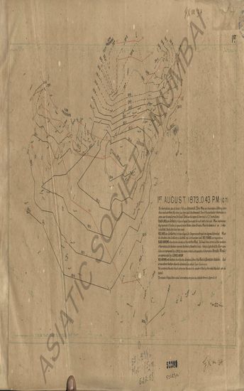
- Synchronous Charts of the North Atlantic, during August ...
- Year: 1876
- Author: Meteorological Office
-
- Charts (reduced in size) Illustrating the Statistics of ...
- Year: 1904
- Author: Great Britain. Commercial, Labour and Statistical et al.
-
- Characteristics of Volcanoes; with contributions of Fac ...
- Year: 1890
- Author: Dana, James D.
-
- A Voyage Round the World, from 1806 to 1812, in which J ...
- Year: 1816
- Author: Campbell, Archibald
-
- Letters of Thomas Carlyle, 1826-1836, Vol. II- 1832-183 ...
- Year: 1888
- Author: Carlyle, Thomas; Norton, Charles Eliot (Ed.)
-