

-
-
-
- Map of Bassin Circar in the year 1846
- Year: 1846
-
- Map of Bassin Circar in the year 1846
- Year: 1846
-
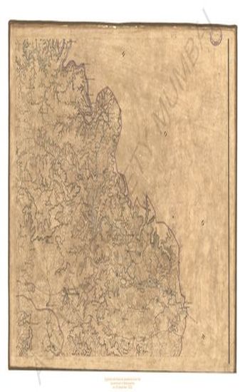
- Map of Bassin Circar in the year 1846
- Year: 1846
-
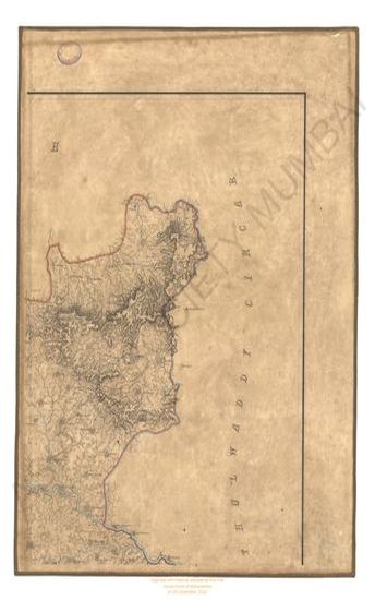
-
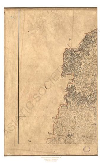
-
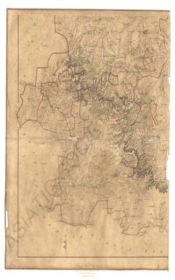
- Map of the Pharenda Circar in the year 1835
- Year: 1835
-
-
-

-

-

-
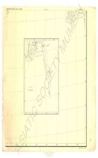
- India : Telegraph Map of 1894. (Sheet No. 6)
- Year: 1894
-

- Map of the Jaulnah Circar in the 1842 & 43
- Year: 1845
-

- District of Nasik
- Year: 1878
-

-
- The Times Daily, 8 January 1925
- Year: 1925
-

- The Times Daily, 23 March 1925
- Year: 1925
-
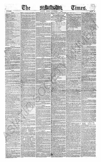
- The Times Daily, 7 November 1884
- Year: 1884
-
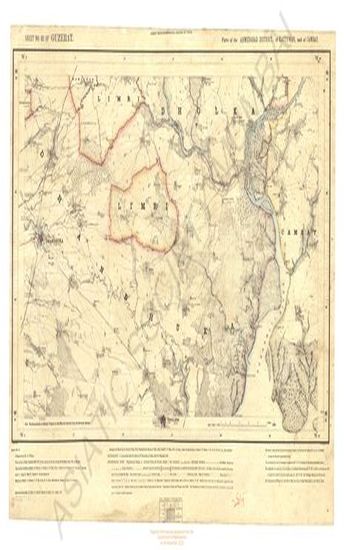
- Gujarat : parts of the Ahmedabad district of Kathiawar and of Cambay. Season 1874-75 G. T. survey of India
- Year: 1878
- Subject: Topographic Map
- Publisher: G.T. S. office
- Language: English
- Place of Publication: Dehradun
-
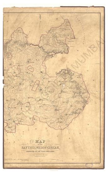
- Map of Baythulwaddy Circar, surveyed in the year 1843-1844
- Year: 1846
- Subject: Topographic Map
- Publisher: Surveyors General's
- Language: English
- Place of Publication: Allahabad
-
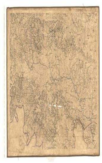
- Map of Bassin Circar in the year 1846
- Year: 1846
- Subject: Topographic Map
- Publisher: Surveyors General's office
- Language: English
- Place of Publication: Allahabad
-
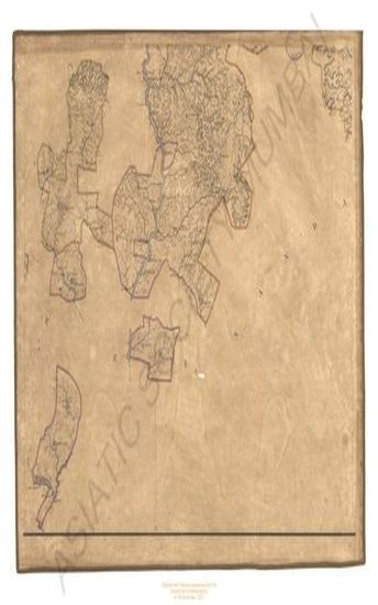
- Map of Bassin Circar in the year 1846
- Year: 1846
- Subject: Topographic Map
- Publisher: Surveyors General's office
- Language: English
- Place of Publication: Allahabad
-
- Map of Bassin Circar in the year 1846
- Year: 1846
- Subject: Topographic Map
- Publisher: Surveyors General's office
- Language: English
- Place of Publication: Allahabad
-
- Map of Dowlutabad (Daulatabad) Circar in the 1847
- Year: 1847
- Subject: Topographic Map
- Language: English
-
- Map of Dowlutabad (Daulatabad) Circar in the 1847
- Year: 1847
- Subject: Topographic Map
- Language: English
-
- Map of the Pharenda Circar in the year 1835
- Year: 1835
- Subject: Topographic Map
- Language: English
-
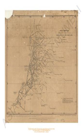
- Chart of Triangulation embarrsing the field of the operation of the right column Lushai expeditionery 1871-72.
- Year: 1872
- Subject: Topographic Map
- Publisher: Surveyor General's office
- Language: English
- Place of Publication: Calcutta
-
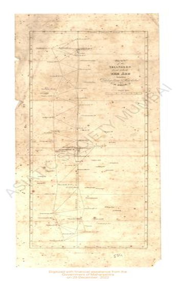
- Plan of the Triangles from which the Arc between (Lutchapolliam) Putchapolliam & Namthabad is deduced.
- Year: 1817
- Subject: Topographic Map
- Publisher: John Murray
- Language: English
- Place of Publication: London
-
- Plan of the Triangles from which the arc between Lutchapolliam & Namthabad is deduced.
- Year: 1817
- Subject: Topographic Map
- Publisher: John Murray
- Language: English
- Place of Publication: London
-
- Plan of the Triangles from which the arc between Lutchapolliam & Vunnae is deduced.
- Year: 1817
- Subject: Topographic Map
- Publisher: John Murray
- Language: English
- Place of Publication: London
-
- Plan of the Triangles from which the arc between Lutchapolliam & Vunnae is deduced.
- Year: 1817
- Subject: Topographic Map
- Publisher: John Murray
- Language: English
- Place of Publication: London
-
- India : Telegraph Map of 1894. (Sheet No. 6)
- Year: 1894
- Subject: Topographic Map
- Publisher: Surveyor General's office
- Language: English
- Place of Publication: Calcutta
-
- Map of the Jaulnah Circar in the 1842 & 43
- Year: 1845
- Subject: Topographic Map
- Publisher: Surveyors General's
- Language: English
- Place of Publication: Allahabad
-
- District of Nasik
- Year: 1878
- Subject: Topographic Map
- Publisher: Government Photozincographic office
- Language: English
- Place of Publication: Poona (Pune)
-
- Plan of the Triangles from which the Arc between Namthabad & Daumeregidda is deduced.
- Subject: Topographic Map
- Language: English
-
- The Times Daily, 8 January 1925
- Year: 1925
- Publisher: The Times
- Language: English
- Place of Publication: London
-
- The Times Daily, 23 March 1925
- Year: 1925
- Publisher: The Times
- Language: English
- Place of Publication: London
-
- The Times Daily, 7 November 1884
- Year: 1884
- Publisher: The Times
- Language: English
- Place of Publication: London